
Through the EcoVoce project...
we promote community-based participatory research (CBPR) to develop a framework for the bottom-up monitoring of environmental problems directly by the local communities, using the concept of Volunteered Geographic Information (VGI).
For this purpose, we will develop the EcoVoce mobile app, which enables the users to identify and report the environmental problems such as water pollution, inadequate disposal of domestic and industrial wastes within the territories of Câmpeni and Baia de Arieș. The Volunteered Geographic Information, transmitted by the citizens interested in getting actively involved in the monitoring of environmental risks, will be stored in the data base of the EcoVoce App. The information about the environmental problems reported by the citizens and recorded on a volunteer and anonymous basis shall be accessible for the decision-makers in real time.
Therefore, through the EcoVoce app we aim at increasing community engagement in monitoring the environmental problems and their management, together with the decision-makers and the scientific community.
Through the EcoVoce project...
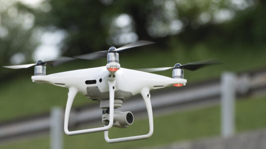
we will create orthophotoplans of the study area by means of drones. Aceste ortofotoplanuri vor fi integrate în aplicația EcoVoce, alături de hărțile de bază, pentru a avea o imagine aeriană detaliată și recentă a zonei.
These orthophotoplans will be integrated in the EcoVoce app, together with the basic maps, in order to have a detailed and recent aerial image of the area.
How can drones be used for the monitoring of the environmental problems?
Drones are unmanned aerial vehicles operated by means of a global positioning system (GPS). They fly with various degrees of autonomy due to the flight plans controlled by software. In short, they are operated remotely, enabling the autonomous flight of these robotized drones.
Researchers, ecologists and environmental engineers are increasingly using drones in their environmental studies. The device greatly facilitates the fieldwork, enabling the investigation of remote areas, since drones can easily fly over long distances and offer the possibility of recording important data types such as land mapping by highly accurate topographical and environmental measurements etc.
Also, drones are more and more used in emergency management,
where they provide rapid access to information on the calamity areas, on damages caused by floods, earthquakes or landslides, on the propagation of vegetation fires or the spread of pollutants in the environment, but they are also very useful in search and rescue actions.
Drones can be used with video cameras that work in the visible specter or thermo-vision, thermometers, humidity and pressure sensors, wind measurement devices, sensors for various gases, enabling them to collect important data for the environmental studies. One drone can collect these data on a regular basis, thus eliminating the need to send people in the field.
The main objectives:
- Creation of a tailored (Beta) version of the EcoVoce app
- Collective consultations to identify environmental concerns and final adaptation of the EcoVoce app based on the suggestions from the local communities and authorities
- Develop citizen science networks for the voluntary engagement of the local communities’ members in the implementation of the EcoVoce app
- Development of UAS-based orthophotoplans by mapping the study area with drones in order to insert them in the app, together with the basic maps
- Test the optimum flight parameters for the identification of the areas with wastes by means of drones
- Promotion of the EcoVoce app and the expansion of the citizen science networks to improve data collection
- Validation of cases reported by citizens and tailoring of the EcoVoce app based on the suggestions made by the interested stakeholders
To find about more about the EcoVoce stages and activities we invite you to access the Activities page
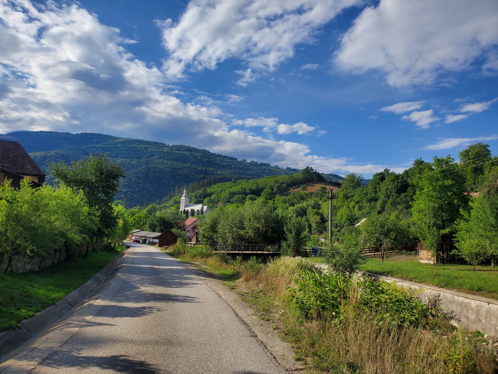
Project implementa-tion area
The project will be implemented in 2 towns (Câmpeni and Baia de Arieș), where workshops and debates will be conducted with the local community, but the data collection area for the EcoVoce app will be a much larger one, involving the Arieș Valley between the 2 towns and the communes of Bistra and Lupșa. Through this app we intend to collect data from a wide area, downstream and upstream of these localities. The map of the study area may be viewed below.
Why Citizen Science?
The term Citizen Science refers to the participation of the public in generation of scientific knowledge, through some actions developed in cooperation with the researchers. It can also be described as participatory monitoring, community science, crowd science, crowd-sourced science or Community-Based Participatory Research (CBPR). Over the last decades, this concept has gained popularity as an innovative form of engaging the interested factors and of community participation in addressing the problems of the society.
What are orthophotos and what are they used for?
An orthophoto (also known as an orthophotograph) is an aerial image that has been geometrically corrected (orthorectified) so that the image is uniform from edge to edge. The correction makes the image uniform in terms of scale, which enables the correct representation of the distances. This is possible after the 3D terrain effect is eliminated, as well as the errors due to the tilting angle of the camera during image recording.